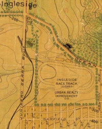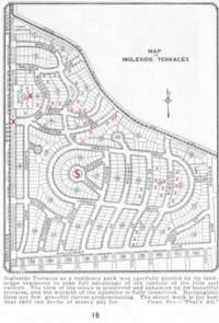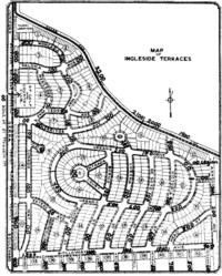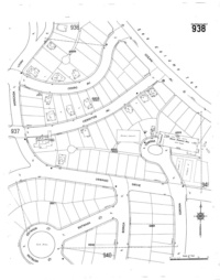
1915 and 1950 maps showing the center of Ingleside Terraces. |
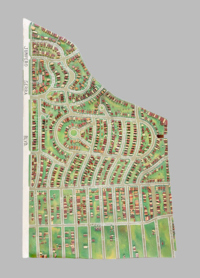
1938 wooden model of
Ingleside Terraces |
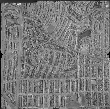
1948 aerial map of Ingleside Terraces
Full size image is 24MB, 118MP, a fast connection is recommended. |
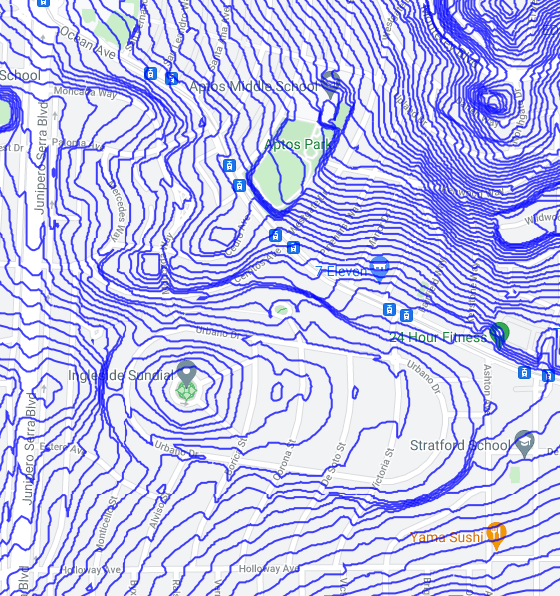
Topographic map of Ingleside Terraces with 5' intervals.
Elevations range from 165' on J.S. Blvd. to 295' on Cedro Ave.
The Sundial in Entrada Court is at 190 feet. |